Elaboración de atlas digitales como herramientas del desarrollo territorial
Fecha
2018Autor
Claret, Romina Soledad
Gómez, Erica Leonor
Sánchez, Matías Emanuel
Metadatos
Mostrar el registro completo del ítemResumen
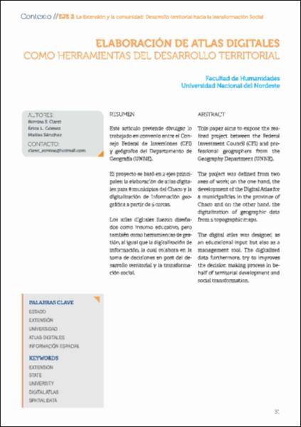
Este artículo pretende divulgar lo trabajado en convenio entre el Consejo Federal de Inversiones (CFI) y geógrafos del Departamento de Geografía (UNNE). El proyecto se basó en 2 ejes principales: la elaboración de atlas digitales para 8 municipios del Chaco y la digitalización de información geográfica a partir de 5 cartas. Los atlas digitales fueron diseñados como insumo educativo, pero
también como herramientas de gestión, al igual que la digitalización de información, la cual colabora en la toma de decisiones en post del desarrollo territorial y la transformación social. This paper aims to expose the realized project between the Federal Investment Council (CFI) and professional geographers from the Geography Department (UNNE).
The project was defined from two axes of work; on the one hand, the development of the Digital Atlas for 8 municipalities in the province of Chaco and on the other hand, the digitalization of geographic data from 5 topographic maps.
The digital atlas was designed as an educational input but also as a management tool. The digitalized data furthermore, try to improves the decisión making process in behalf of territorial development and social transformation.
Colecciones
- Artículos de revista [1103]


